Last week was an exciting week for Project Subway! I released my new x-ray series and was thrilled to get some generally positive feedback. Thank you all for your love and support! Check out the coverage by CityLab and Gothamist if you haven't already :)
Since a few people have asked, I would like to share with you a little bit about my process. For the first part where I survey and sketch the stations, you can read about it here.
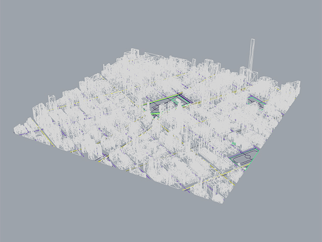
For the new series, I first download a 3D model of the city from cadmapper. Let me use the Union Square drawing as an example:
3D model from cadmapper.com (you can download up to 1 square km for free)
Then I find an angle that could work:
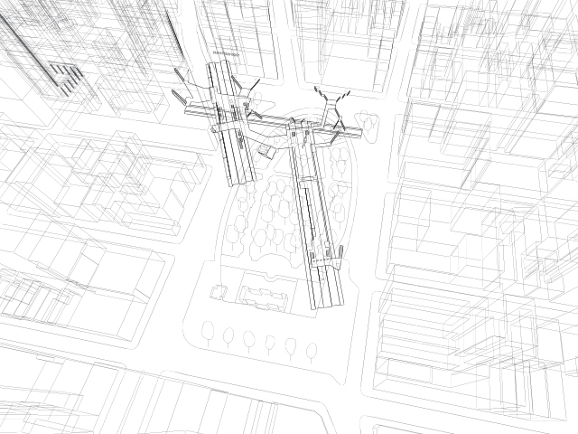
And I import the station model I made from before:
Then I go to Google Maps and get a general feel of the area, including trees, the configuration of the park, and the buildings:
Then I do some research on specific landmarks and transfer that detail into my drawing, for example, this clock thing (it's called the metronome) that always keeps people wondering:
metronome (source: wikipedia)
Then I export the lines into illustrator and edit the line weights:
Then I layer texture, streets, platform colors, people, and street names:
Textured underlay
Translucent white indication of streets
Colored platforms according to train lines
Added little people for scale
And finally street names and business names
And that was it! I repeated this process for all five images I made, took a few months!


